A Scientia Group Company

Artificial intelligence and robotics for your industry.

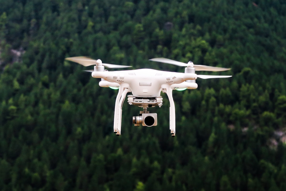
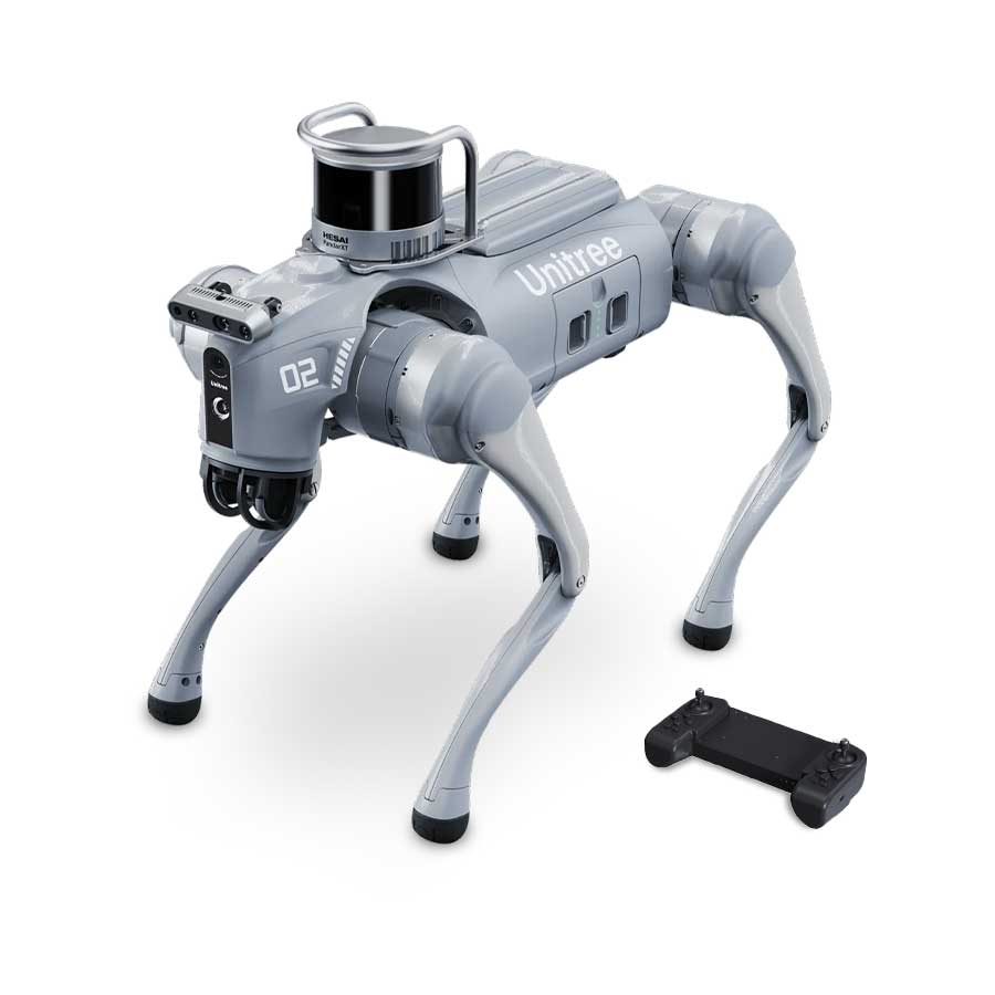
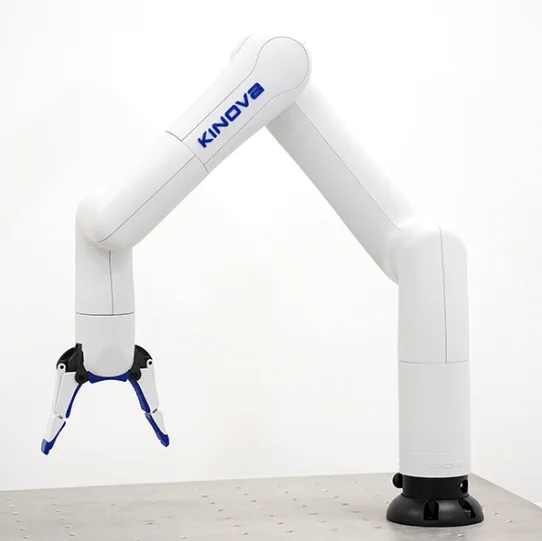
Surveying drone platforms, robotic instrumentation for automation, and custom-built MCP connectors that bring artificial intelligence into your existing software — all engineered with scientific rigor.

AI · ROBOTICS · DRONE  /  INSTRUMENTATION
SCROLL ↓
About Intelliscint

Engineered intelligence for the physical world.

Intelliscint forms part of Scientia Group, supplying robotic and drone platforms and AI connectors for common software platforms.

We combine engineering and science to solve automation and surveying problems, and develop hosted MCP connectors to interface AI to your existing software platforms.

03
Core Disciplines
AI
First-principles
EU
Engineered & Built
24/7
Field Deployment
Capabilities

What we supply.

A focused stack of AI, robotics, and surveying systems — designed to be integrated, not just demonstrated.

01 / Artificial Intelligence

Custom-built AI interfaces to your software

Custom-built Model Context Protocol connectors for interfacing AI systems like Claude to your commonly used software platforms.

Learn more →
02 / Robotics

Robotic instrumentation

Precision actuation, sensor payloads, and automation platforms for industrial and laboratory environments.

Learn more →
03 / Drones | Imaging

Aerial surveying platforms

Flight systems engineered for repeatable survey missions, multi-sensor imaging, and long-endurance inspection.

Learn more →
04 / Drones | Imaging

Land surveying platforms

Land-based drone systems for optical, thermal and LIDAR imaging of plant facilities and industrial sites.

Learn more →
Products & Platforms

Systems you can deploy.

Production-grade platforms available for integration and deployment today. Detailed specs available on request.

Aerial / DroneAerial drone surveying

Aerial drone surveying

Long-endurance autonomous aircraft with multi-sensor payloads for terrain and infrastructure mapping.

Product 01In production
Ground / DroneLand-based drone surveying

Land-based drone surveying

Ground-based drone systems for optical, thermal and LIDAR imaging of plant facilities and industrial sites.

Product 02In production
Robotic / IndustrialRobotic / industrial automation

Robotic / industrial automation

Multi-axis robotic instrumentation and automation platforms for industrial and laboratory environments.

Product 03In production
Software / AISoftware / AI connectors

Software / AI connectors

Custom-built MCP connectors linking Claude and other AI systems to your commonly used software platforms.

Product 04Beta
Applications

Where our systems operate.

Deployed across industrial, scientific, and civil contexts — wherever autonomy, measurement, and AI converge.

/ 01
Aerial surveying
High-resolution terrain and infrastructure mapping with autonomous flight and on-board processing.
DroneAI
/ 02
Industrial inspection
Automated visual inspection of assets, structures, and production environments.
RoboticsImaging
/ 03
Scientific imaging
Robotic sample handling and multi-modal imaging for research and laboratory workflows.
RoboticsScience
/ 04
Environmental monitoring
Scheduled autonomous missions collecting spectral and spatial data over large areas.
DroneImaging
Contact

Let's talk about what you need to build.

Tell us about your project — surveying, robotic instrumentation, computer vision, or a custom integration. We'll respond within two business days.

Parent company
Scientia Group
Focus
AI · Robotics · Drones · Imaging